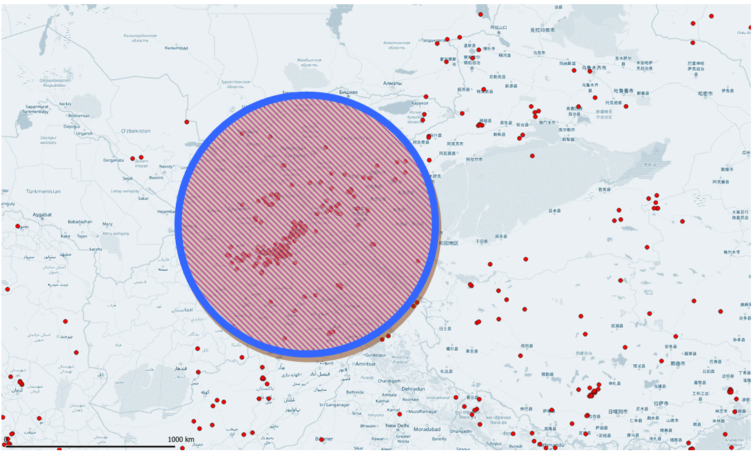
Earthquake Risk Transfer for Afghanistan

Afghanistan is situated in a geologically active region of the world with an ever-present threat of strong earthquakes. The location of the country is on the boundary where two tectonic plates, the Iranian Plate and the Eurasian Plate, meet. To the south of Afghanistan, the Indian Plate moves northwards and to the north, the Eurasian Plate moves south-eastwards. The collision resulting from the movement of the plates has been underway for 50 million years. Due to this, Afghanistan is vulnerable to earthquakes. Both the Iranian Plate and the Eurasian Plate consists of continental crust, which can neither sink nor be destroyed. As a result, the rocks between the two plates are forced upwards to form mountains. The constant movement of the Iranian Plate increases pressure. The earthquake on February 4, 1998, was caused by this increase in pressure.
EPA Effect on Afghanistan Probable Maximum Loss
Afghanistan short-term expected earthquake loss
Earthquake risks that need to be transferred? download the report.
