Earthquake Risk Transfer in New Zealand
The goal of the covering Wellington by Earling preparedness alert network is to see Wellington positioned to become a more resilient region through a comprehensive study of the likelihood of large Wellington earthquakes, the effects of these earthquakes, and their impacts on humans by issuing preparedness alert as soon as risk of a major event increased in the region.
Earthquakes occur frequently in New Zealand as the country is situated in the collision zone between the Indo-Australian and Pacific tectonic plates, part of the Pacific Basin Ring of Fire, where many earthquakes and volcanoes occur.
The largest city within the highest-risk zone is the nation's capital, Wellington, followed by Hastings then Napier. All these cities have experienced severe earthquakes since European settlement. About 14,000 earthquakes occur in and around the country each year, of which between 150 and 200 are big enough to be felt. But Earling was able to issue preparedness alert for some of the latest earthquakes >= M4.0 Richter for the region. Despite the numerous numbers of earthquakes in the region, Earling algorithms that analyze billions of environmental regional data can distinguish earthquake patterns that can be followed by major events from everyday shakes. As a result, Earling issued several preparedness alert days before which some of them.
How EPA Affects Recent Insured Losses
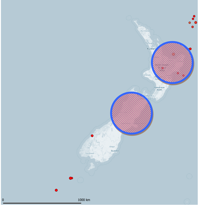
New Zealand short-term expected earthquake loss
Earthquake risks need to be transferred? download the report.